November 12, 2013: Fire Legacy’s role in current and future fire management in the Southwestern U.S.

Presenter: Tessa Nicolet, USFS Region 3 Fire Ecologist The southwestern United States encompasses many ecosystems with intimate and inseparable relationships with fire. It is well accepted that fire plays an integral role in the ecology and maintenance of many forest and grassland types in the southwest. Fire on these landscapes not only shapes how those …

Fuel Treatment Longevity

There are several ways to evaluate fuel treatment effectiveness: observations, case studies, mathematical models, and empirical studies. Within these four categories, there are several methods that can be used to evaluate the effectiveness of fuel treatments both immediately after treatment and over time. This paper summarizes the goals, effects, and advantages of various treatment actions; …

SW Mixed Conifer Forests: Evaluating Reference Conditions to Guide Fuel Treatments

This working paper covers three topics to guide treatments in mixed-conifer forests of the Southwest: 1) describes the current knowledge of mixed-conifer historical reference conditions for fire regimes, stand structure, and species composition in the Southwest (Arizona, New Mexico and adjacent areas); 2) provides field diagnostics to assess reference conditions; and 3) offers land managers …

The Fire Laboratory: Forest Restoration on the Gila

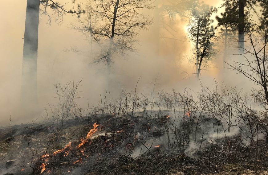
Vast stands of ponderosa pine stretch across the Gila National Forest, a testament to the role of fire in this corner of the Southwest. For decades, fire managers on the Gila have been reintroducing fire back on to the landscape. This video introduces some of the people behind the story of fire on the Gila National Forest.

Click here for accompanying  “The Fire Laboratory” write up containing more detail.

December 9, 2012: Synthesis of Knowledge of Extreme Fire Behavior for Fire Managers

Presenter: Paul Werth Extreme fire behavior indicates a level of fire behavior characteristics that ordinarily precludes methods of direct control action. One or more of the following is usually involved: high rate of spread, prolific crowning/spotting, presence of fire whirls, and strong convection column. This webinar will summarize the recent JFSP publication  that connects the …

November 2012: New Mexico Rx Fire Council

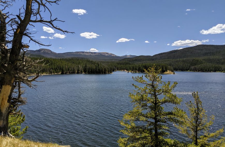
We hosted a one day joint meeting and field trip for the New Mexico Prescribed Fire Council and the New Mexico Interagency Coordinating Group to help bridge the role of the two groups and create an opportunity for sharing of information and building contacts. On the field trip, we took the group to the Chupadera …

October 24, 2012: Whitewater-Baldy Complex

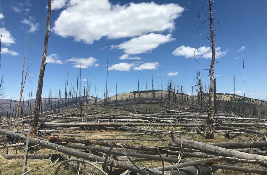
We hosted a one day field trip to explore New Mexico’s largest wildfire*, the Whitewater Baldy Complex, that burned 297,845 acres (465 square miles) on the Gila National Forest during the extremely dry and windy spring of 2012. The tour discussed the fire regimes of the fuel types that burned, the interaction of past fires …

March 2012: FRCC Workshop – (Albuquerque, NM and Flagstaff, AZ)

Fire Regime Condition Class (FRCC) assessments have been widely used for evaluating ecosystem status in many areas of the U.S. FRCC employs state-and-transition modeling to describe historical vegetation and fire regimes, which provides reference information related to landscape fire frequency, severity, and vegetation composition. Similarity indexing is used to compare historical versus current vegetation and …

June 22, 2011: Fire history and age structure patterns at landscape scales

Presenter: Jose Iniguez (USFS RMRS) Top-down regional climate patterns result in high spatial fire synchrony among Southwest forests. At landscape scales, however bottom-up (topography) patterns are also important in determining fire history and tree age structure variability. The distinct fire histories from these two study areas provided natural age structure experiments that indicated tree age …

March 18, 2012: Fire Regime Condition Class Mapping Tool

Presenters: Steve Barrett & Jeff Jones (NIFTT University of Idaho) The FRCC Mapping Tool quantifies the departure of vegetation conditions and fire regimes from a set of reference conditions representing the historical range of variation. The tool, which operates from an ArcGIS platform, derives several metrics of departure (e.g., vegetation composition and structure, fire severity, …