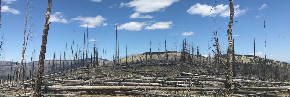
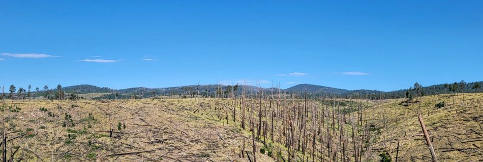
Panoramic View of Hillside After a Burn

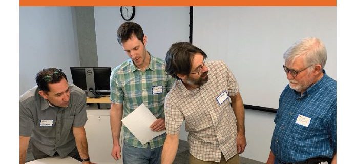
The REBURN Model: Simulating forest and fuel succession and disturbance dynamics of large landscapes

In a nutshell: This webinar discusses REBURN, a geospatial modeling framework designed to simulate reburn dynamics over large areas and long-time frames to investigate the impact of multiple fires in the same area. Recorded on: January 17, 2024 Presenters: Dr. Susan Prichard, University of Washington and Dr. Paul Hessburg, USDA-FS Pacific NW Research Station Description: …

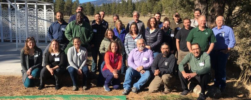
Southwest Tribal Fire and Climate Resilience – 2023 Virtual Workshop

This is part of an ongoing effort to respect tribal sovereignty and treaty rights by supporting tribal use of fire as part of cultural and ecological resilience, and seeks to increase capacities, ameliorate challenges, and share examples that can guide tribes across the Southwest. In 2023, we gathered virtually to explore issues facing tribes relating …

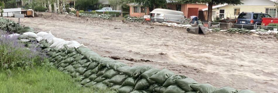
Post-fire flooding showing sand bags and a street that looks like a river, it is full of muddy water.

Post-fire Flooding: The Museum Fire

The Museum Fire in 2019 burned 1,961 acres and a record monsoon season in 2021 caused post-fire flooding from the burn scar, which affected many homes and businesses. The Story Map aims to outline the full timeline of the fire, the aftermath and flooding, and considerations for the future. Topics include the Flagstaff Watershed Protection …

Postfire Management in Frequent-Fire Conifer Forests

Presenter: Dr. Jens T. Stevens, National Program Lead for the Wildland Fire and Fuels Research, USDA Forest ServiceDate: January 19, 2022 12pm Mountain Standard Time The increasing incidence of large wildfires with extensive stand-replacing effects across the southwestern United States is altering the contemporary forest management template within historically frequent-fire conifer forests. While management of …

Repeat Photography and Post-Fire Ecosystem Change in SE Arizona

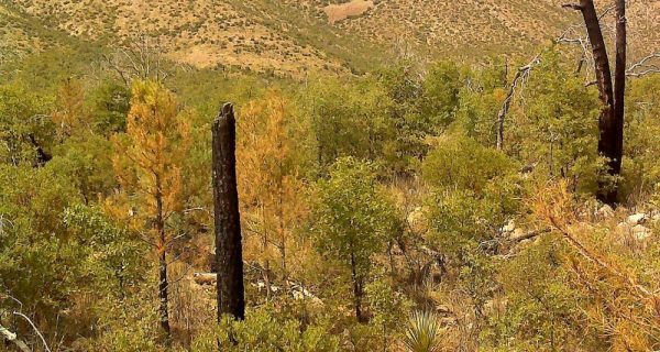
Date: October 26, 2021 1pm AZ/2pm MDTPresenters: Jim Malusa, University of Arizona, with an introduction by Don Falk, University of Arizona While making a vegetation map of the Chiricahua Mts in 2010, I took georeferenced photos and notes on the canopy cover of dominant species, in ecosystems ranging from grassland to spruce-fir.  The next year, …

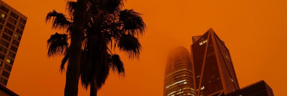
Fire in the West 2020

Hot and Dry Podcast Series EPISODE SUMMARY In our last episode of the season we process out loud the fire season that is 2020. We hear from folks directly impacted and talk to a certified climate expert to learn how climate change is (or isn’t) causing the fires on the west coast. EPISODE NOTES Cally …

Southwest FireCLIME

Southwest FireCLIME is a multi-year research partnership between scientists and resource managers to synthesize current knowledge of regional climate-fire-ecosystem dynamics. Our project has addressed this goal through science synthesis, an annotated bibliography, modeling, a vulnerability assessment, and Fire-Climate adaptation tools. For more information, visit the website: https://swfireclime.org/ Funded by the Joint Fire Science Program, research …

Southwest Vegetation Type Conversion: A workshop summary

by Rachel M. Gregg, EcoAdapt, and Laura A. Marshall, University of Arizona Increasingly common large and severe fires in the Southwest are now often followed by vegetation type conversions (VTC) where once-dominant vegetation fails to return to its pre-fire state. Case studies have documented abrupt transitions from forests to shrublands or from shrublands to grasslands. …