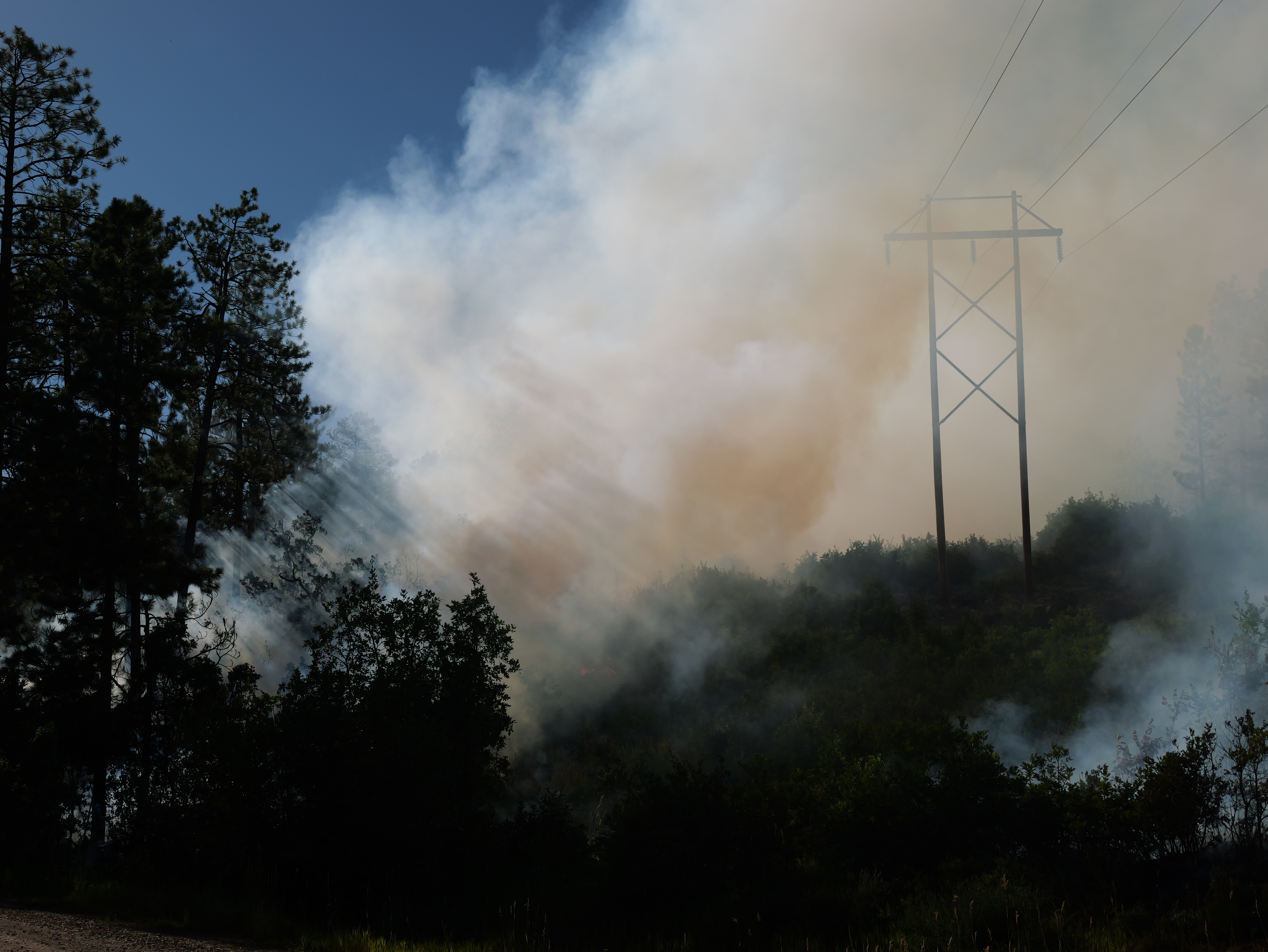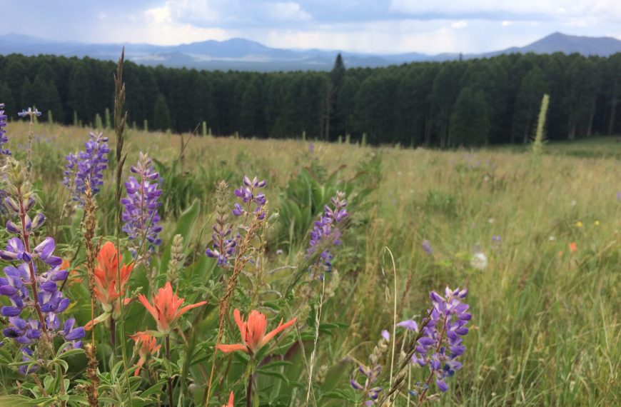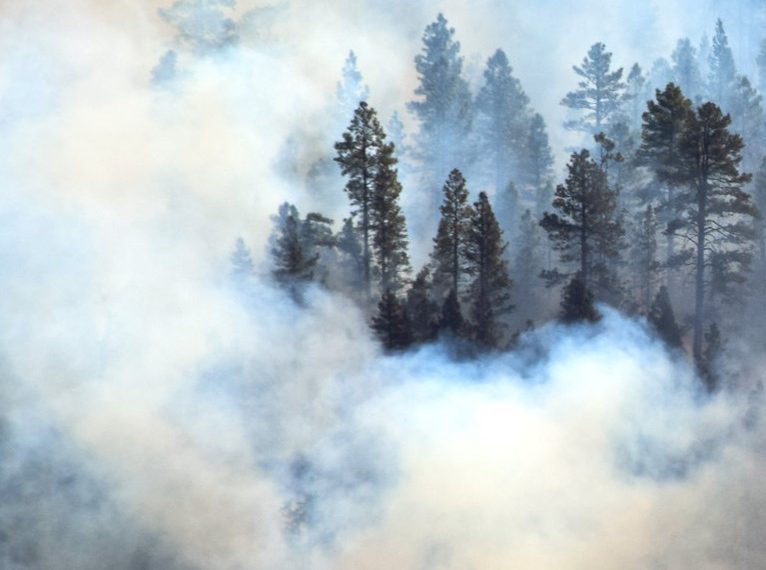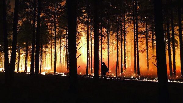
In the spring of 2019, several partners teamed up with the Burned Area Learning Network to visit coordinate a series of three field trips across the Southwest. Scientists, researchers, and land managers came together to visit burned areas of the Boundary Fire (2017) and Pumpkin Fire (2000) in Arizona, the Las Conchas Fire (2011) in New Mexico, and the Hayman Fire (2002) in Colorado. The overarching goal of these field trips was to provide a space for land managers and scientists to identify opportunities, challenges, and priorities surrounding the management of burned landscapes.
The goal of the Burned Area Learning Network (BALN) is to improve scientific understanding, policy and management practices for burned areas to enhance the long-term resilience of ecological systems and provide for human safety.
This StoryMap was organized by the Forest Stewards Guild, The Nature Conservancy, the Southwest Fire Science Consortium, the Southern Rockies Fire Science Network, and others!
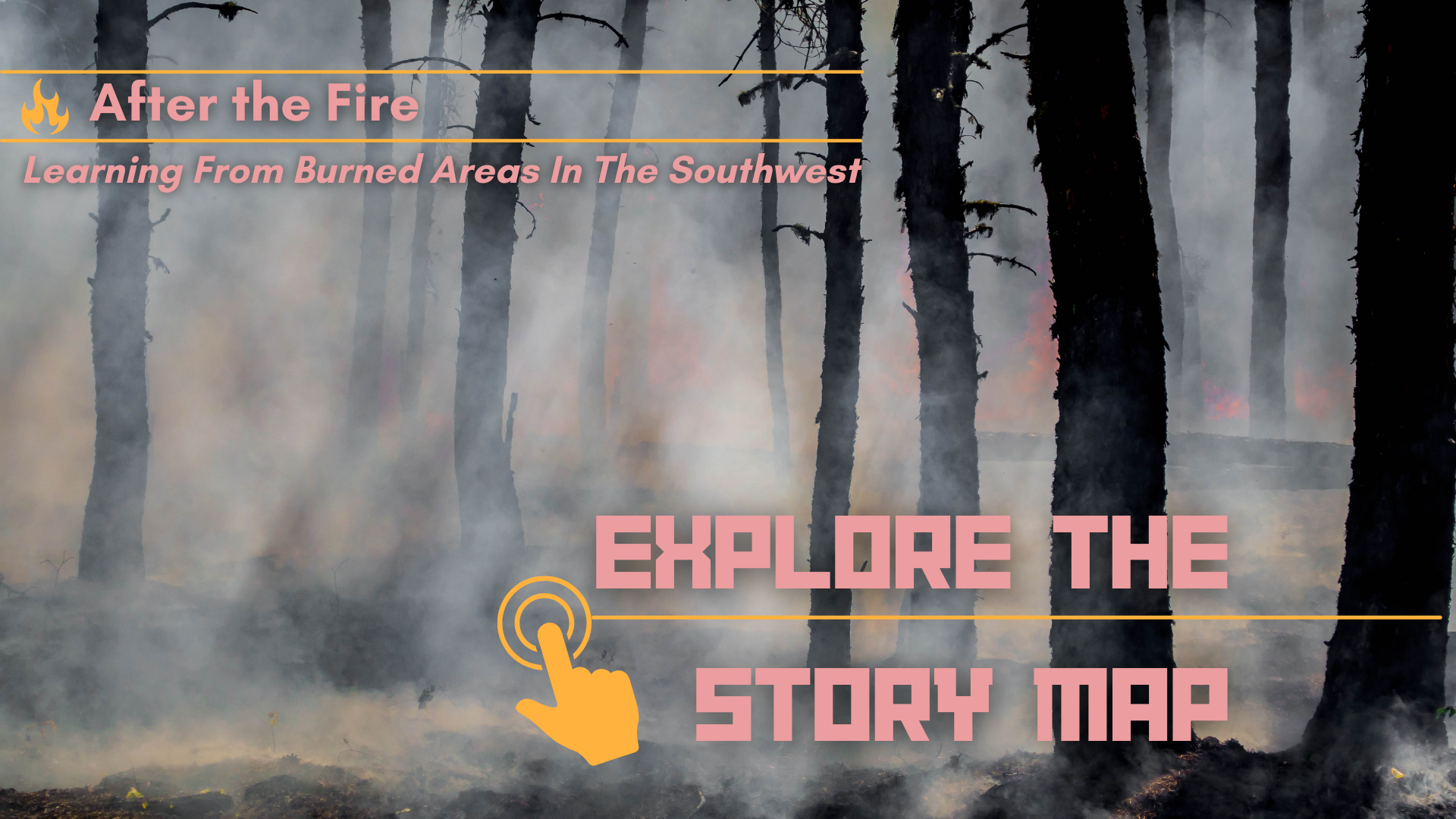
Click the image below to view the Story Map.
Story map created in May 2019.